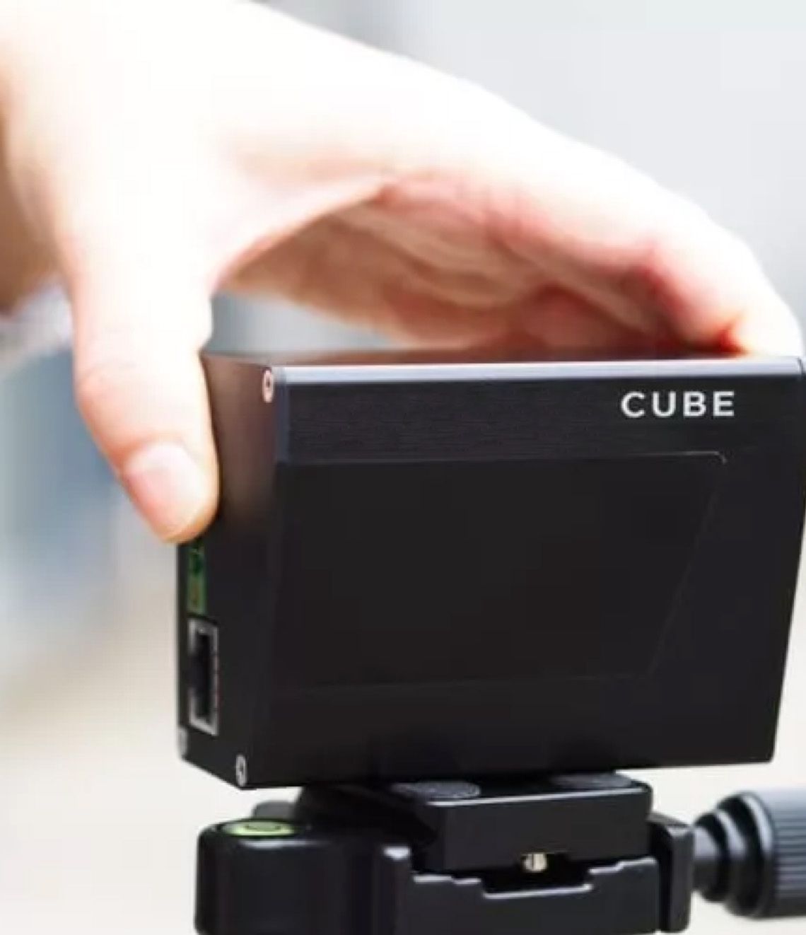
LiDAR Technology
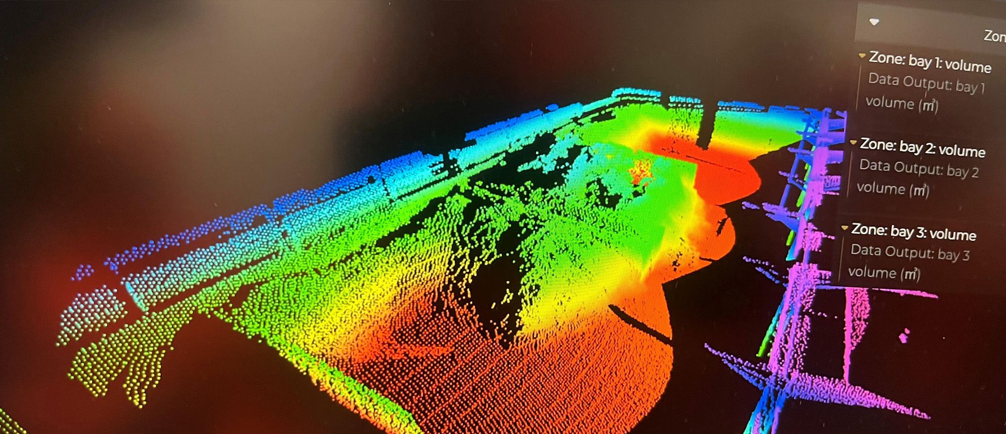
To capture material inventory on site, LiDAR sensors are strategically positioned to ensure maximum coverage. The 3D data generated by the LiDAR sensors provides information on the height, width, and depth of the bulk piles accurate to the centimetre. This is then accessible remotely and in real time via the dashboard.
Point Cloud
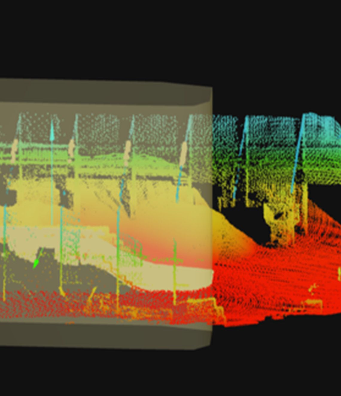
The software solution then calculates the material’s volume using the laser information. Each sensor outputs the acquired data as a pointcloud, containing the X, Y, and Z coordinates. The software stitches various pointclouds together to give complete 360 degree image.
On Demand Data
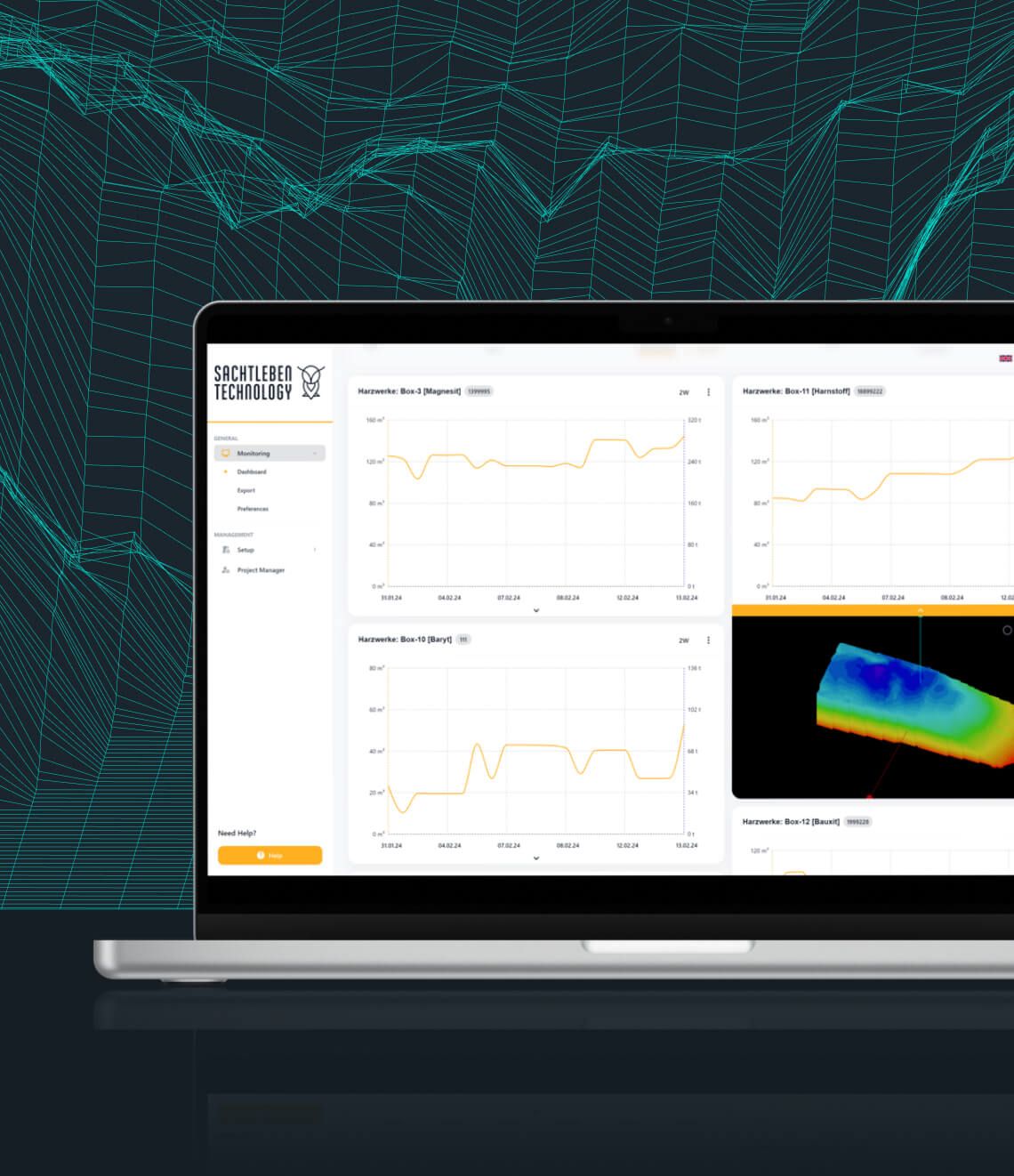
The required volume measurements from each zone are then output to the dashboard and/or clients operating system. Here you have full visibility of time/date trends and composition analysis of stockpiles. This feature allows you to monitor how long stock has been lying, giving a clear understanding of material turnover.
Case studies
View case studiesCheck out how other companies have benefited from Quvo's LiDAR solutions